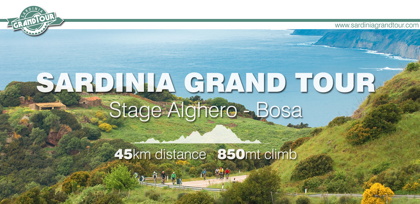
The Alghero Bosa is a strip of road suspended between a volcanic mountain range and the sea. It’s just called “The Alghero Bosa Road” or, with a bit of poetry, “The scenic Alghero Bosa road ”.
Cyclists consider it as one of the most beautiful roads of whole island… if not more.
We’ll tell you why, on our opinion, they are right, having as a reference two famous roads that in some way remind the Alghero – Bosa.

Chapman’s Peak drive – Cape Town, Sudafrica
This is a 9 km stunning itinerary just out of Cape Town, quite famous also thanks to the Cape Argus, the one day most popular cycling ride of the world. I was very curious about it, so I decided to discover it by bike. Well, it’s a definitely beautiful ride, but even for a lazy rider like I am, a 9 km ride ends too soon.
Highway 1 – Big Sur road – California
The Highway 1 is the road that connects San Francisco to Los Angeles in about 750 km, but the most dramatic part is between Carmel and Morro Bay, wich in fact is part of the National Scenic Byway System, recognized by the United States Department of Transportation for its archeological, cultural, historic, natural, recreational, scenic qualities.
Still it’s an American highway, so because of its size and the vastness of the landscape where the road is immersed, I would say it’s more pleasant by car.
So, what’s unique on our Alghero Bosa road?
We’ll describe it from the saddle of a bike, and you’ll tell us what you think.
The first half of the whole stage it’s rolling, with low gradient climbs easy to pedal.
Leaving Alghero, after a small taste of coastline, we’ll start a short climb inland, then going back to the sea on a very fast downhill till Poglina beach.
It’s time to climb again, always with a less than 8% gradient, next landmark is the fresh water spring coming right from the red volcanic rock mountains. This water is available all year round pouring from a rock column located on a parking area on the right side of the road. It’s a perfect spot to stock up on water, mandatory on warmest summer days.
What surprises the most, a part from the beauty of the landscape, it’s the almost total absence of car traffic. Just during summer, and mostly on week ends, can be some motorcyclists.
Capo Marrargiu is the imposing promontory in the middle of the itinerary, and it takes two climbs to conquer it. First one takes us till the massive roof built over the road to protect from landslides. The second one is slightly longer and ends right at the cape on top of the coastline.
From here you can admire the whole gulf from Alghero to Bosa, and with a bit of luck it’s possible to spot the Griffin Vultures, magnificent birds with an almost three meters wing span, the only native colony of Italy.
Thanks to the naturalistic importance of this territory, the whole area is an ecological preserve, where it’s not possible to build anything. The only human settlements are few stone sheepfolds, perfectly integrated in the surreal silence of this place.
Passed Capo Marrargiu, there are about 12 km of pure fun for the downhill lovers, always with sea views on right. Rocks change color, till even the shade of green, and it’s possible to easily reach small coves to dive into Mediterranean for a refreshing bath.
Torre Argentina, part of the Spanish defensive tower system that surrounds all Sardinian coastline, welcome us just before Bosa, where we’ll arrive with a nice downhill after the last small climb.
The whole route its gorgeous, and colors change constantly according to seasons, but if we should suggest a time of the year, it would certainly be the spring, when the whole itinerary is a flame yellow blossom of scented brooms, splitting a part the blue of sea and sky.
Ho fatto da sola qualche anno indietro, semplicemente unica al mondo!!!
Ciao Ewa:) Allora devi tornare e accompagnarci sino a Cagliari!
chi lo sa… sarebbe bellissimo!!!!
Lo fata da Padria -Villanova poi giù nella discesa pazzesca di pollina ,direzione Bosa- Montresta-Padria. STUPENDA